Color orthophoto map 2013-2015 (Cycle 5)
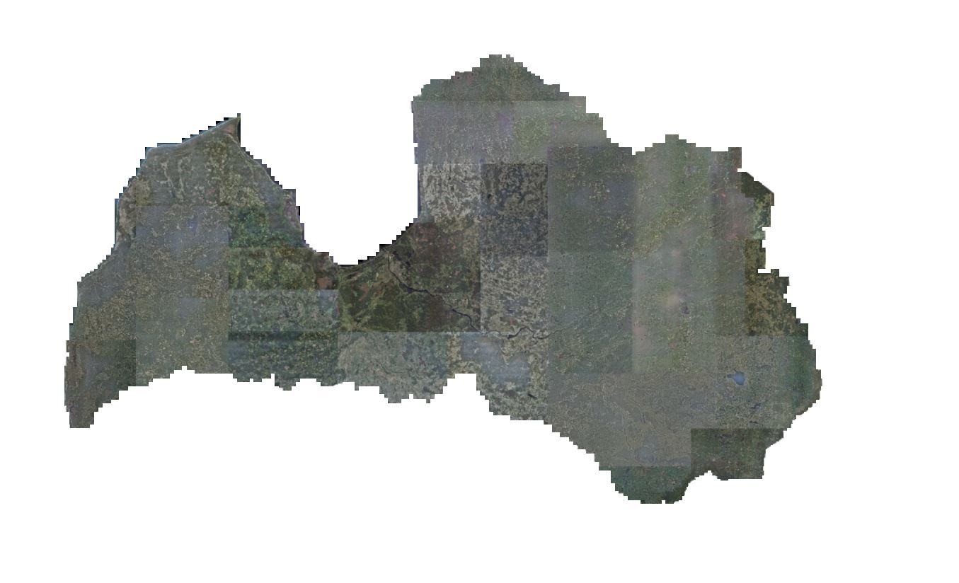
The service includes a color orthophoto map for the entire territory of Latvia with a resolution of 0.4 meters, but for Riga and its surroundings - with a resolution of 0.25 meters, obtained from aerial photography data in the period from 2013 to 2015. The orthophoto map is linked to the LKS-92 TM coordinate system. The division of map pages corresponds to the division of TKS-93 M 1: 5000 map page nomenclature. Aerial photography was performed in cooperation with the Polish company MGGPAero.
Data is available in GeoTIFF raster format.
- SHP file with 5th cycle of aerial photography
Download here:
All map pages:
5th cycle of aerial photography, 2013-2015