Overview map of the Republic of Latvia in scale 1: 250 000
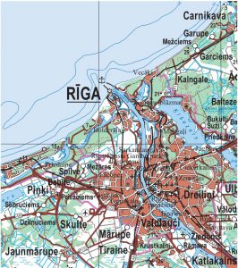
The map shows information about all settlements, road network, vegetation (forests, swamps), river network, water bodies (large ponds, lakes), highlands and terrain.
Topographic map in scale 1:50 000, 2nd edition
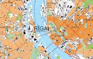
The map covers the entire territory of Latvia according to the TKS-93 map sheet division and is derived from a military topographic map in the scale of 1:50 000 database.
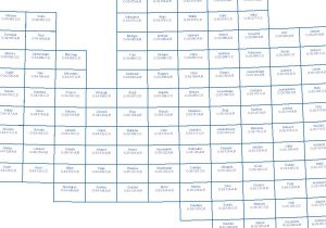
Maps nomenclature
- Nomenclature of topographical maps in scale 1: 2000
- Nomenclature of topographical maps in scale 1:10 000
- Nomenclature of topographical maps in scale 1:50 000 TKS
-Nomenclature of topographical maps in scale 1: 50 000 UTM