Color orthophoto map 2010-2011 (Cycle 4)
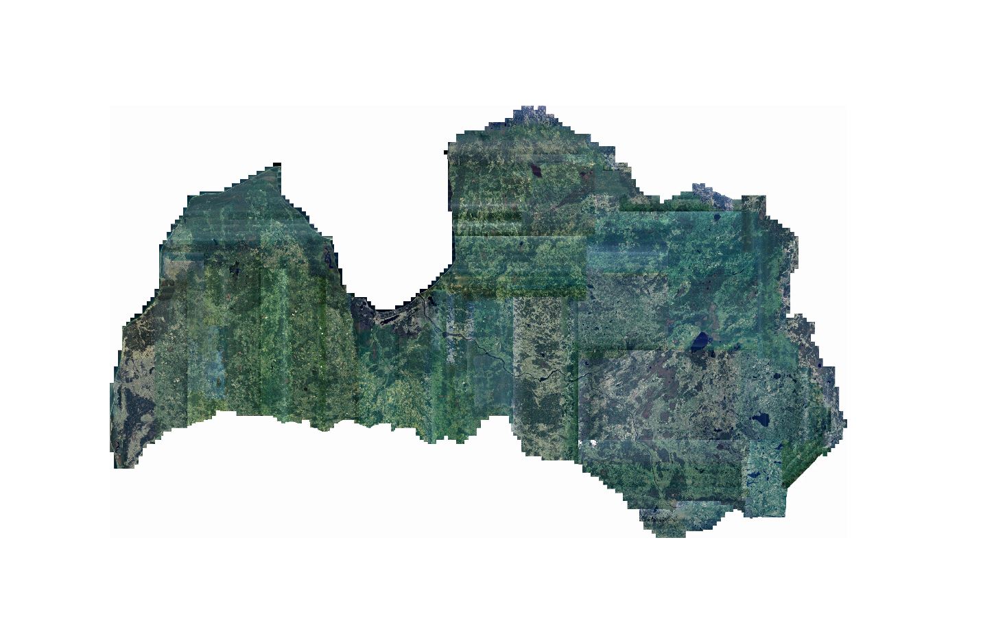
The service includes a color orthophoto map for the entire territory of Latvia with a resolution of 0.5 meters, obtained from aerial photography data in the period from 2010-2011. year. The orthophoto map is linked to the LKS-92 TM coordinate system. The division of map pages corresponds to the division of TKS-93 M 1: 5000 map page nomenclature.
Data is available in GeoTIFF raster format.
Download here:
All map pages: