Digital terrain model
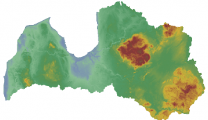
The digital terrain model (with a step between points of 20 meters) is a set of points where, in addition to plane coordinates (X, Y), their altitude (Z) is also known. The model is obtained by laser scanning. Part of the data is obtained with special stereo instruments using aerial photographs. The points cover the area in a regular network.
Time of acquisition of the raw data: schema