Place name dictionaries and gazetteers
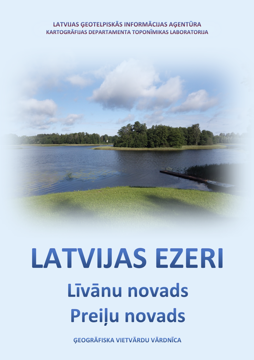
Lakes of Latvia: Līvāni Municipality. Preiļi Municipality. Geographical Place Names Dictionary. Riga: Laboratory of Toponymy of the Department of Cartography, Latvian Geospatial Information Agency, 2023. (in Latvian)
The dictionary contains the names of lakes and artificial water bodies of Līvāni and Preiļi municipalities. It was created using information from the Place Names Database of the Latvian Geospatial Information Agency (LGIA) and data from LGIA topographic maps.
The dictionary provides information about the names of water bodies currently used on LGIA maps, other name variants, and gives insight into the use of lake names in previous historical periods. The main focus is on the names of lakes, but information about various types of reservoirs and ponds is also collected to the extent possible. A brief geographical description is provided in the dictionary entries (location, area, islands, inflow and outflow rivers). The coordinates of the lakes are included in the alphabetical index.
The dictionary continues the publication series "Latvian Lakes" started in 2021.
Available digitally here.
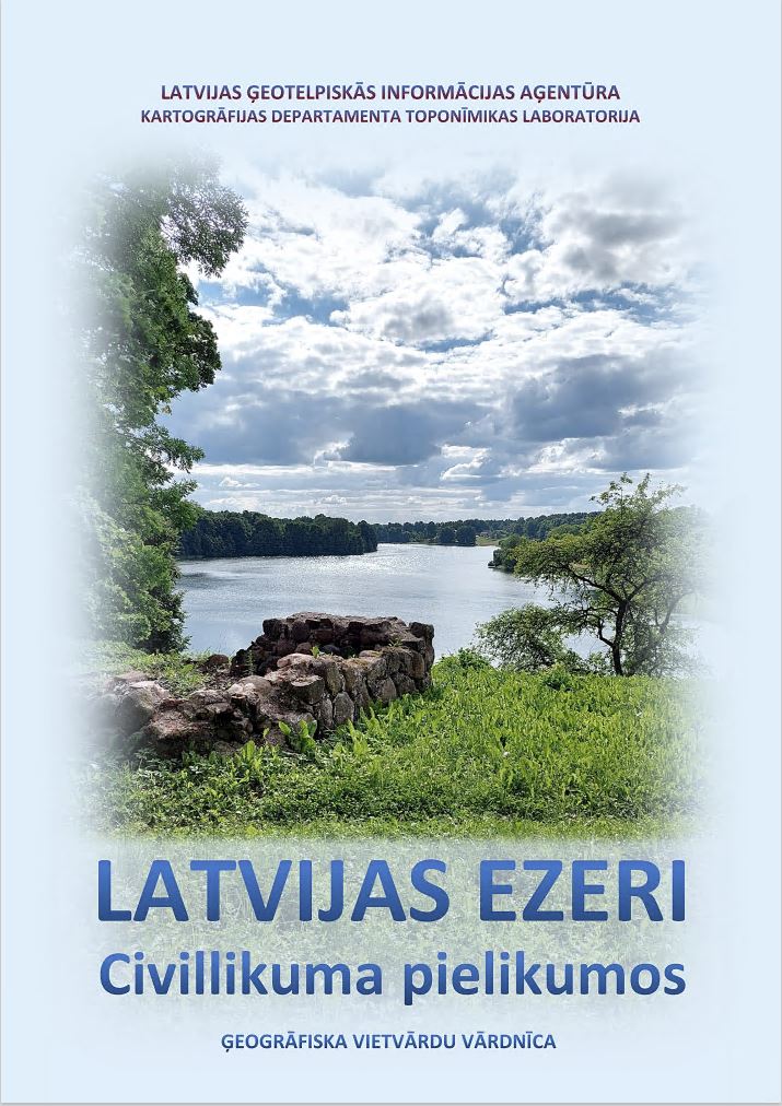
Lakes of Latvia in the Annexes to the Civil Law. Geographical Place Names Dictionary. Riga: Laboratory of Toponymy of the Department of Cartography, Latvian Geospatial Information Agency, 2022. (in Latvian)
The dictionary contains the names of 417 lakes and artificial reservoirs mentioned in the annexes to the Civil Law. The entries were created using information from the LGIA Place Names Database, as well as data from LGIA topographic maps.
On October 11, 2021, amendments to the Civil Law came into force, which updated the data on lakes and their names in Annexes I and II – “List of Public Lakes and Rivers” and “List of Lakes, in which Fishing Rights Belong to the State”. Although the law determines only the legal status of lakes, the names of lakes are also important, because the way they are recorded in official documents affects the use of names in other areas. Many lake names in previous official lists of lakes were in an inaccurate or even erroneous form of recording, or otherwise did not comply with the current norms of spelling and use of place names. In the 1992–1998 edition of the Annexes to the Civil Law, which was issued soon after the restoration of Latvia’s independence, the names of lakes were actually taken over from the 1937 Civil Law without any changes, even with elements of outdated orthography, not to mention many names distorted beyond recognition. In 1998, the names of lakes in the annexes to the Civil Law were revised and, within the limits of the possibilities at that time, corrected and supplemented with variants, however, many lake names still remained unspecified. When correcting the names of lakes in the new edition of the annexes to the Civil Law, a huge amount of previous work was taken into account – names collected, analysed, clarified by geographers since the 1980s and 1990s and already used in the cartography of Latvia, as well as the extensive collections of place names and research by linguists, which resulted in the opinions of the State Language Centre.
The dictionary focuses primarily on lake names. Its goal is not only to inform about the changes in the new edition of the Civil Law Annexes, but also to demonstrate the validity of the corrections by providing insight into the use of lake names in various historical periods.
Available digitally here.
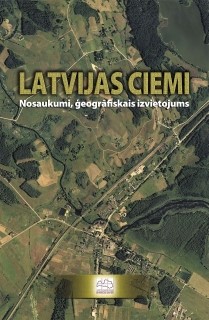
Latvian villages. Names, geographical location. Riga: Latvian Geospatial Information Agency, 2007. (in Latvian)
Dictionary of Latvian village names, which includes 14,012 names of 8,879 settlements in Latvia. They are arranged according to the administrative division of 15.10.2006 and supplemented with short philological and geographical comments. An alphabetical list of names is added, as well as information on the approximate number of inhabitants in villages. According to the data of the State Address Register (2006), the official names of those settlements that have been officially granted village status are indicated.
The book includes, as far this was possible, all rural settlements consisting of at least three houses, having a unifying name and was recognized as villages by local governments and/or residents.
The publication is based on village names data from the Satellite Map of the Republic of Latvia M 1:50 000. The Place Names Database and many written and cartographic sources of geographical names were used, too. The information was obtained and clarified by interviewing specialists from regional departments of the State Land Service, municipal employees, and local residents.
The book is of a recommendatory, informative and cultural-historical nature. It is intended as a source of information for a wide range of users and a manual for those who work with Latvian place names. The book will be useful when assigning, clarifying or changing the official names of villages, parishes, and counties. It can also be used in regional planning, cartography, and communication.
Available digitally here.
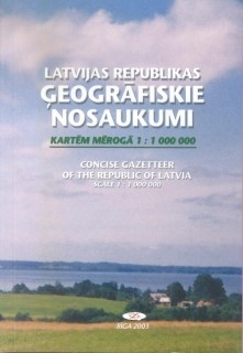
Concise Gazetteer of the Republic of Latvia Scale 1:1 000 000. Riga: VZD, 2004; electronic edition updated in 2008 – 2009.
It is a gazetteer of place names with parallel texts in Latvian and English and cartographic appendices. Created in accordance with UN recommendations.
The gazetteer includes the names of the most important geographical objects in Latvia - all cities, the most important villages, the main objects of the Baltic Sea and its coast, the largest lakes, the longest rivers, highlands and their highest mountains - their geographical coordinates are indicated, as well as their location according to the administrative-territorial division.
Place names have been coordinated with the relevant official sources and the State Language Centre of the Ministry of Justice of the Republic of Latvia.
The names of settlements are provided according to the Address Register data, supplemented with information from the Place Names Database. The number of inhabitants in cities is indicated according to the data of the Central Statistical Bureau, the number of inhabitants in villages - according to the encyclopedia "Latvijas pagasti".
Appendix 1 of the gazetteer contains a list of administrative territories and territorial units of the Republic of Latvia (according to the ATVK classifier version of December 1, 2008).
Cartographic appendices (scheme of administrative districts and cities, general geographical map of Latvia and map of administrative territories and territorial units) were prepared by the Cartographic Administration using digital maps of the Republic of Latvia.
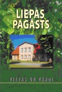
Liepa parish. Places and names. Riga: LGIA and Liepa civil parish council, 2009. (in Latvian)
The Latvian Geospatial Information Agency has published a book - a local history and toponymic study on the Liepa civil parish in the Cēsis district. It was created in cooperation with the Laboratory of Toponymy of the Department of Cartography of the Latvian Geospatial Information Agency and the Liepa civil parish council.
The book describes natural and cultural-historical objects, settlements, and summarizes all their known names. In order to preserve the richness of the parish's place names, the book also includes the names of objects that have already disappeared (former homesteads, taverns, etc.). It provides an insight into the history, culture, and economy of the civil parish. The book is richly illustrated with color and black-and-white images (modern and historical photographs, drawings, map fragments, etc.). It contains photographs of almost all homesteads and other residential buildings in Liepa civil parish.
The book is 308 pages long. The appendix contains a colored map of Liepa civil parish M 1:25,000 and a plan of Liepa village M 1:10,000.
The work can be useful for the people of Liepa and surrounding parishes, local historians, schoolchildren, students and anyone interested in the nature, people, history and place names of Liepa civil parish.
Authors of the book's texts: Valda Ermane, Sarmīte Pliuna, Benita Sausiņa, Otīlija Kovaļevska
Compiler and editor Otīlija Kovaļevska
Literary editor and proofreader Baiba Ivulāne
Cartographer Baiba Gitendorfa
Layout designer and artistic designer Marika Marcinkus
The book uses photographs by Benita Sausiņa, Aivars Viļņas, Aija Struņķe, Raimonds Renčs, Valda Ermane, Vita Strautniece, Juta Audzere, Romualds Beļavskis, Indulis Krauze, Valdis Brauns, Ivars Valdmanis, etc. Images from the Liepa library archive, the archive of the Liepa branch of the Social Service and LKLS society, the personal archives of the people of the parish, as well as an orthophoto map prepared by the State Land Service in 2005 were used.
Printed in the Printing house of the Latvian Geospatial Information Agency "Latvijas karte".
ISBN 9984-28-235-X
© Latvian Geospatial Information Agency, 2009
© Liepa Parish Council, 2009
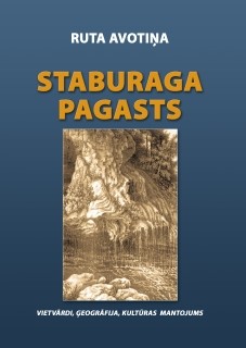
Ruta Avotiņa. Staburags civil parish. Place names, geography, cultural heritage. Riga: LGIA, 2007. (in Latvian)
The book "Staburags civil parish. Place names. Geography. Cultural heritage" is a geographical and toponymic study of the nature, economy, population, settlements, history and cultural monuments of Staburags parish in the Aizkraukle district.
Staburags parish has existed only since 1945 and is territorially the western part of the ancient Sēlpils parish, therefore this work can be considered a continuation of the study “Sēlpils parish. Nature. Population. Settlements. History” published in 2003 (republished in 2005).
The book is richly illustrated with contemporary and historical photographs. It was created using materials from the Aizkraukle History and Art Museum, the State Historical Archives of Latvia, the State Cultural Monuments Protection Inspectorate's Monument Documentation Centre's archives, the Latvian Place Names Database of LGIA, unpublished materials from the Latvian Institute of Archaeology, the Staburags Parish Council and Vīgante Primary School, and the diary of composer Pēteris Barisons.
The book will be useful for cartographers, media proffessionals, land surveyors, as well as local historians, tourists, and anyone interested in the nature, history, culture, and place names of the region.
Attached is a coloured map of Staburags civil parish at scale 1:25,000 and 2 schematic maps.
The book was prepared and published with the support of the Staburags Civil Parish Council.
ISBN 9984-28-416-6 © Latvian Geospatial Information Agency, 2007.
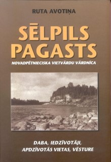
Ruta Avotiņa. Sēlpils parish. Local history dictionary of place names. Nature, inhabitants, settlements. Riga: VZD, 2003; supplemented and clarified edition 2005.
A local history and toponymic study of the Sēlpils civil parish of the Jēkabpils district, which describes geographical (natural objects, settlements, etc.) and cultural-historical (mounds, settlements, ancient burial grounds, cemeteries) features. All known names are listed for each feature, and one basic name is selected from them, which is recommended for future use. In order to preserve the set of place names of the parish, information is also provided about former, no longer existing geographical and cultural-historical objects and their names. The dictionary contains a description of the natural conditions of the Sēlpils civil parish, information about the population and settlements, as well as a historical description.
The appendix to the second edition of the dictionary includes the chronicle of Sēlpils parish, a map at scale M 1:25,000 and 10 schematic maps.
The work could be useful not only for residents of Sēlpils civil parish, but also for media proffesionals, cartographers, land surveyors, local historians, tourists - everyone whose interests are related to the nature, people, and history of Sēlpils.
The book was prepared and published with the support of the Sēlpils Civil Parish Council and the Daugava Foundation.
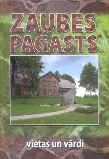
Zaube parish. Places and names. Riga: VZD and Zaube civil parish council, 2005.
A local history and toponymic study of the Zaube civil parish of the Cēsis district. It describes natural and cultural-historical objects, settlements (villages and homesteads), and summarizes all their known names. Data from the Latvian Place Names Database, literary and map sources, materials from field surveys, school archives, Zaube parish council and local local history researchers, and memoirs of local residents were used. In order to preserve the richness of the parish's place names, the book also includes the names of objects that have already disappeared (former homesteads, taverns, mill lakes, etc.). It provides an insight into the history of the parish and the lives of people in different times.
The book is richly illustrated with historical and contemporary photographs. It contains photographs of almost all the homesteads and other residential buildings of Zaube civil parish. psThe appendix contains two schematic maps, as well as a map of Zaubecivil parish, scale 1:25,000.
The publication will be useful for the people of Zaube and surrounding parishes, as well as local historians, schoolchildren, students and everyone who is interested in the nature, people, history and place names of Zaube civil parish.
The book was prepared in collaboration with Zaube Civil Parish Council.