Color orthophoto map 2007-2008. g. (Cycle 3)
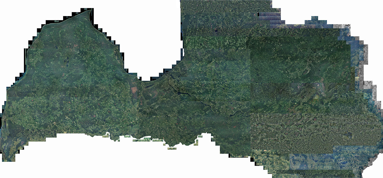
The service includes an orthophoto map in the color spectrum for the entire territory of the country with a resolution of 0.5 meters, with aerial photography time from 2007-2008. Aerial photography was performed with a digital camera Vexcel "UltraCamX" (216 megapixels), flight altitude - 7000 m.
A color orthophoto map at a scale of 1:10 000 is available in GeoTIFF raster format with a link to the LKS-92 TM coordinate system. The files correspond to the TKS-93 M 1: 5000 map page nomenclature.
The data is intended for use by any person.
Map pages can be downloaded here:
All map pages: