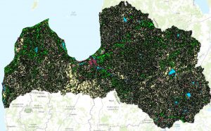
Land cover
Layers:
Land Cover Surfaces
lcvLandCoverValueS
Ground cover data
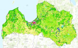
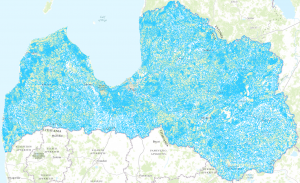
Physical and biological cover of the earth's surface, including artificial surfaces, agricultural areas, forests, (semi-) natural areas, wetlands, water bodies.
Height, contour lines
INSPIRE terrain dataset.
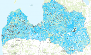
Service for inland hydrography

INSPIRE WMS download service for the Latvian hydrographic theme - physical waters.
Inspire orthophoto maps
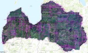
Mosaic elements by default; Orthopedic coverage by default.
Hydrographic network service
INSPIRE WMS service for hydrography.
Database of geonames
INSPIRE WFS is a geographic name service.
Grid
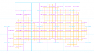
INSPIRE - The data of the geographical network system are harmonized with the INSPIRE implementing rules.